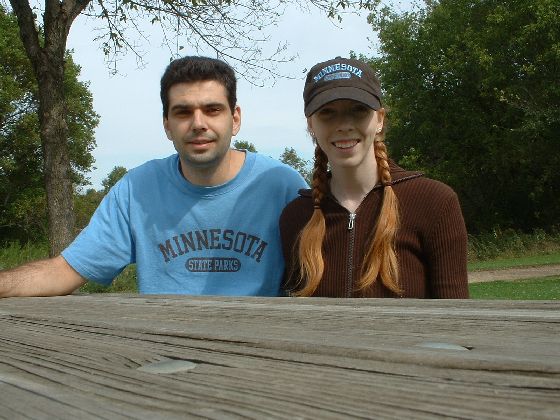
****************************************
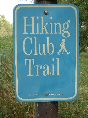
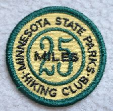
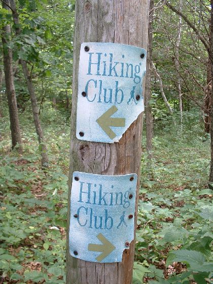
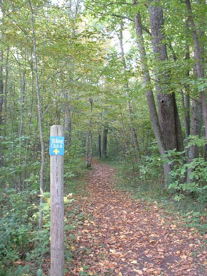
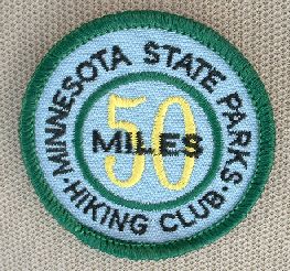
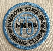
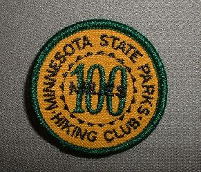
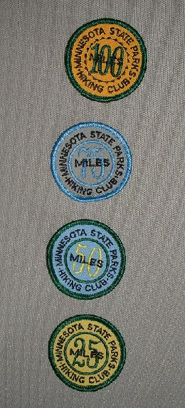
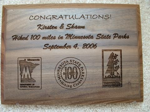
These are the trails we've walked on the Minnesota State Parks Hiking Club list. There is one marked Hiking Club trail in 60 of the 71 state parks in Minnesota. About halfway through the trail, you'll find a sign with a password. Collect the passwords for prizes after 25, 50, 100, 150, and 192 miles. You can visit their site here for more information.
****************************************
Cascade River - 3.5 miles
This is a great trail. The password is on the top of a hill.
****************************************
Temperance River - 1.8 miles
Very nice trail. Goes along a river. Fairly easy trail.
****************************************
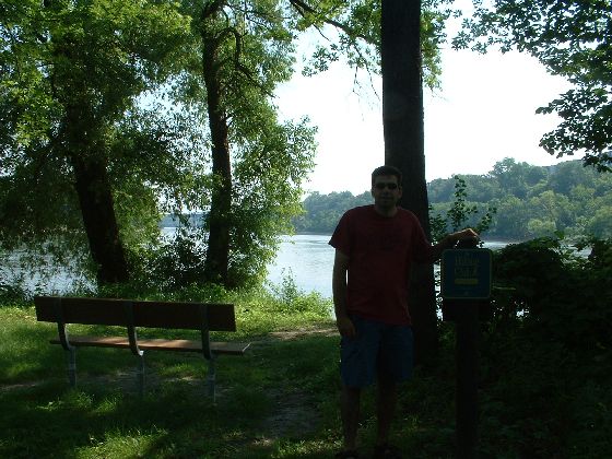
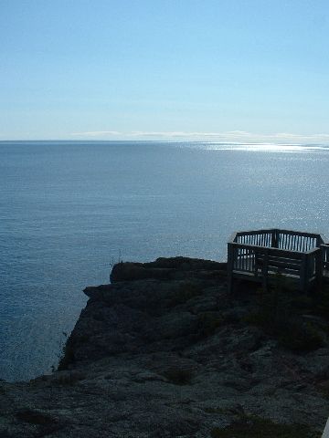
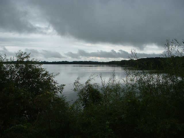
Split Rock Lighthouse - 6.2 miles
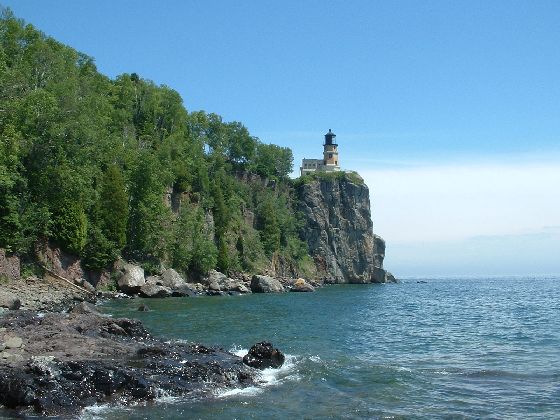
Very long but nice trail. Nice stop near the lake. Goes a while on a paved path.
****************************************
Fort Snelling - 3.0 miles
Not a very interesting trail. Saw some deer, though. Bring lots of bugspray for the mosquitoes.
****************************************
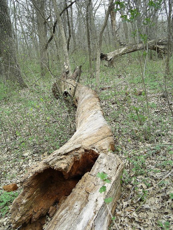
William O'Brien - 6.0 miles
Nice, diverse trail, but one of the Hiking Club signs was missing. Bring a park map. Also watch out for the triangular fly-type things; they bite and/or suck your blood.
****************************************
Minneopa - 2.7 miles
Nice trail through some woods and a lot of prairie along the woods.
****************************************
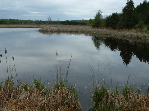
Lake Maria - 2.0 miles
Woodsy, short trail. Nice view of the lake at the password.
****************************************
****************************************
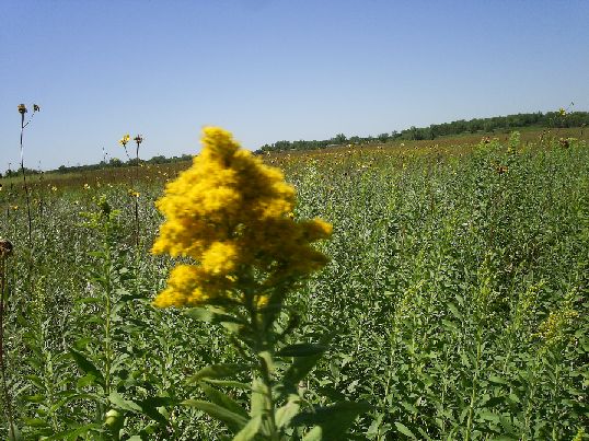
Carley - 1.8 miles
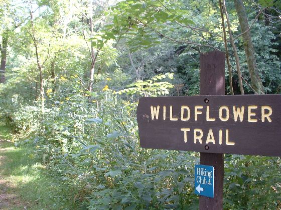
At the beginning, there are tall yellow wildflowers along the trail. This was by far the narrowest and most overgrown of all the Hiking Club Trails we hiked...
****************************************
Whitewater - 2.2 miles
Until we got to Whitewater. But only part was overgrown, the section going along the prairie at the top of the bluff. The ascent and descent (along the same path) were nice trails through the woods. View wasn't terribly exciting, but Shawn saw a deer.
****************************************
Great River Bluffs - 2.5 miles
Easy trail with signs along the way about the flora, fauna, and geology of the area. Very nice view at the end.
****************************************
Mille Lacs Kathio - 3.6 miles
Through hilly forest. Historic sites along the way marked with signs. Saw a deer.
****************************************
Father Hennepin - 2.0 miles
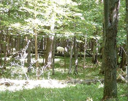
Starts along a crowded beach. Trail soon turns into the woods, and even though we never got far from the beach and people, we saw one of their legendary white deer!
****************************************
Banning - 2.6 miles
At the password, the quarry rocks are very cool. Near the river, optional very rough trail goes to Hell's Gate. On the return, see some building ruins from quarry days.
****************************************
Wild River - 3.3 miles
Trail goes along the river on the way out, and then hikers walk on the paved bike trail on the way back. Very pretty trail, and you can go out on a little sandbar.
****************************************
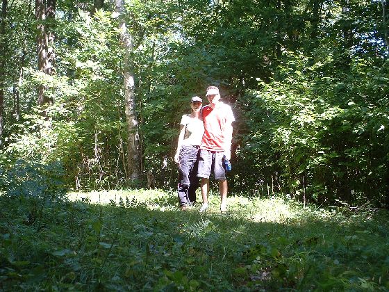
Hiking Club gear
Stylin'.
****************************************
Interstate - 3.0 miles
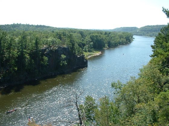
The first half is very rocky and winding. The second half, which actually may not have been the designated Hiking Club route, started with a lot of stairs going both ways but then takes an easy, smooth path the rest of the way back. Take a detour to the pothole trail to see nice rock formations and good views of the river.
****************************************
Afton - 2.5 miles
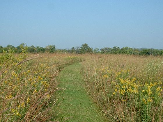
Trail starts with a loop through the prairie, where you can read interesting history signs like the one telling you about the antique plow next to the sign, even though there appeared to be no actual plow. Then it goes to a larger loop through the forest and along a stream.
****************************************
Charles Lindbergh - 2.5 miles
Trail goes through a dense, bug-filled forest and then along an open, bug-filled prairie. Good thing the trails are wide so there's plenty of room for waving your arms about in a mostly vain attempt to stop bugs from landing all over you. On the positive side, they gave us our 50-mile badge...
****************************************
****************************************
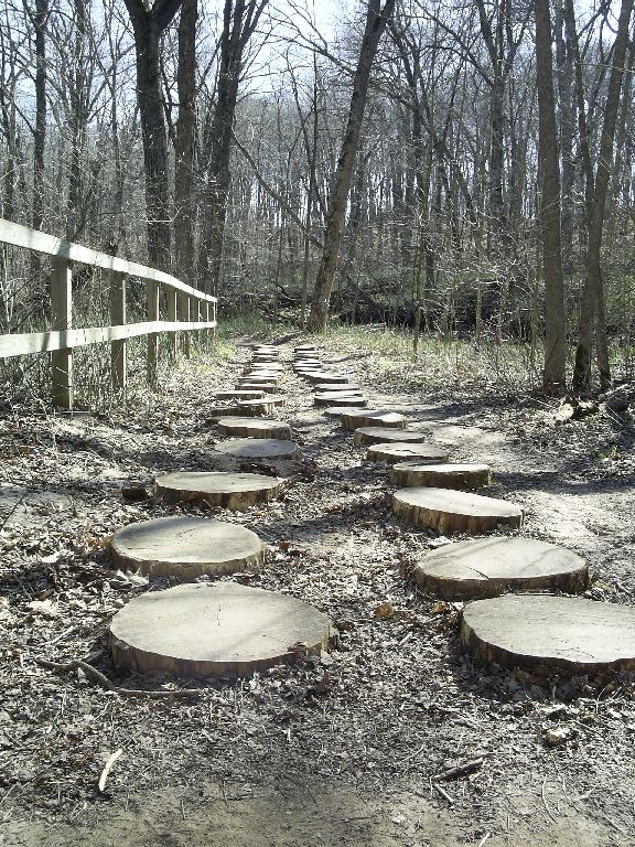
Minnesota Valley - 4.0 miles
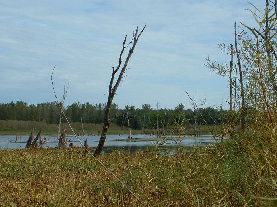
The trail is wide but not marked well. Also, it's just a lot of forest. But if you take the optional trail to what's left of the short-lived town of St. Lawrence, you can go in the house of the town founder and read some interesting signs with historic info.
****************************************
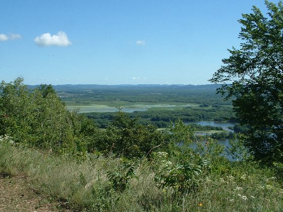
Frontenac - 2.6 miles
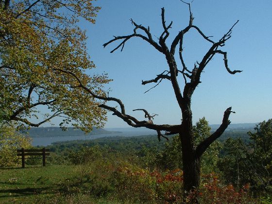
Beautiful views of Lake Pepin from a well-maintained trail that goes partially down the bluff and then back up again.
****************************************
Nerstrand Big Lake - 2.0 miles
We're out early in April 2006 since it's so warm. This park is 50 miles from the middle of nowhere. Woodsy. Nice park office.
****************************************
Sakatah Lake - 2.2 miles
We saw a snake! Woodsy again.
****************************************
Moose Lake - 2.0 miles
This is an evil, evil state park.
****************************************
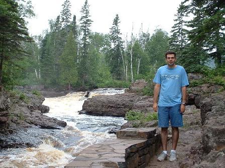
Jay Cooke - 3.5 miles
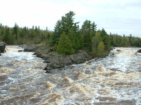
A swinging bridge over a cool raging river! It doesn't look like it swings, but it does. Try it!
****************************************
McCarthy Beach - 3.4 miles
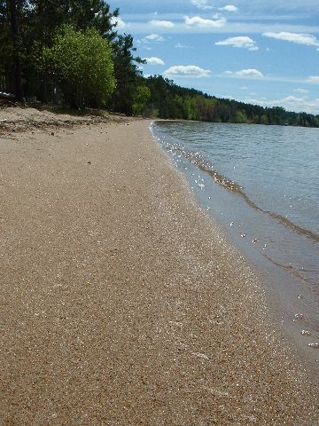
With a beach, for a change, which can be accessed by a road that has been smoothed and regraded less often than the road to the Sea of Tranquility. We saw funky mushrooms that we did not eat and some deer.
****************************************
Soudan - 2.5 miles
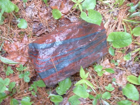
An adventure! The park was closed until Memorial Day, so we had to sneak in. Also, it was raining. It was fun. They have cool iron-striped rocks.
****************************************
Bear Head Lake - 3.0 miles
Supposedly they have eagle nests, but we didn't see any. The sun started to come out!
****************************************
****************************************
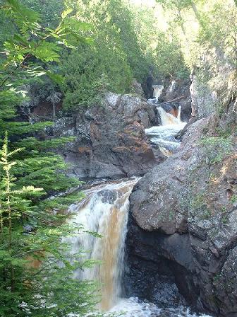
Judge Magney - 2.5 miles
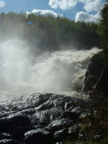
Back to the popular North Shore. Trail to a waterfall!
****************************************
Tettegouche - 2.0 miles
Very great views of Lake Superior. Easy trail that's probably hugely popular in the high season.
****************************************
Gooseberry Falls - 2.2 miles
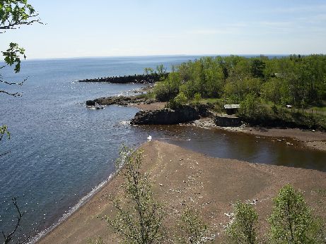
The falls are crowded, but this trail sure isn't. But it should be! It goes up the hill to a very nice lookout over Lake Superior. And it's part of the Gitchi Gummi trail, which sounds like a winner to me.
****************************************
Itasca - 3.0 miles
We didn't really pay much attention to this trail, because it was evening, and we had forgotten to wear our bugspray, and we were being attacked by mosquitoes.
****************************************
Buffalo River - 2.5 miles
This trail is mostly through prairie. But near the beginning, take a little detour to visit the building with the observatory attached. It has informational displays about bison and astronomy. And shade.
****************************************
Myre-Big Island - 6.2 miles
We saw wild turkey, deer, big white birds of some sort in a tree. We liked this one even though it was cloudy and rained on us a little.
****************************************
Blue Mounds - 6.2 miles
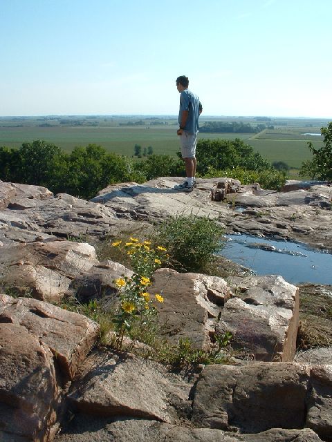
This one is mostly prairie, with some rocks and bison and a lake. There's a walk-in interpretive center! Too bad it was closed when we were there.
****************************************
****************************************
****************************************
****************************************